
Lake Lanier sailing routes: islands, parks, and scenic shores
Late on an October afternoon I pushed off from Dock Zk at Aqualand Marina with the wind out of the south and two hours on the clock. That is the whole problem of Lake Lanier sailing routes in one sentence: the lake is big, the clock is not, and the wind decides which shoreline you get. The prettiest water is usually the water you can reach while the sails are still full.
Which Lake Lanier sailing routes are best for scenery?
The best Lake Lanier sailing routes for scenery stay inside the broad water between Flowery Branch and Browns Bridge. From Aqualand Marina you clear the channel in minutes, pick up island shoreline on both sides, and spend your time sailing instead of motoring out to something worth looking at.
Scale explains why that matters. The U.S. Army Corps of Engineers, which built and still manages the reservoir, identifies Lake Lanier as a 38,000-acre lake in north Georgia. That surface is not one open bowl. It is a drowned river valley with long fingers, so a leg that looks short on a map can hold a solid hour of tacking between tree-lined points. The Lake Lanier Association, which tracks shoreline and access conditions on the lake, documents that spread of islands and public landings, and that patchwork is what gives a sail its variety.
My own shortlist from Dock Zk is short on purpose: the island cluster off Flowery Branch, the mouth of Two Mile Creek when the water is calm enough to sit in, and the long reach toward Browns Bridge when wind and hours allow. If you want a landmark by landmark account of what passes the rail, I wrote one in what you see from Captain John's boat.
We cover the details separately in Lake Lanier private charter vs boat rental: which fits your day.
How do islands and parks shape Lake Lanier sailing routes?
Islands give a sail its shape. They create lee water you can relax in, they break the horizon so every leg looks different, and they give me somewhere to point the bow when guests want photographs. Parks and campgrounds along the shore do the same work from the other direction.
Explore Georgia, the state tourism authority, lists Lake Lanier as a major recreational destination with boating, parks, and attractions close to Atlanta, and that density of public shoreline is why a sightseeing leg rarely feels empty. You pass swim beaches, dock clusters, pine ridges, and the occasional club race. The city of Flowery Branch, Georgia sits behind the marina, which makes the south end of the lake the easiest place to build short Lake Lanier sailing routes around islands rather than open water.
One thing I tell every group: a park you can see from the water is worth more to your afternoon than a landmark you have to motor forty minutes to reach. The Atlanta Convention and Visitors Bureau promotes the lake as the closest big-water escape from the city, and most of my guests drove up that morning. Shade, steady wind, and a quiet anchorage beat mileage every time.
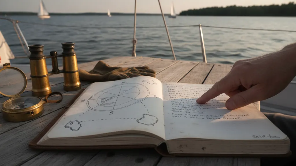
Lake Lanier sailing routes by charter length: two hours to a full day
Charter length decides the course more than anything else on the list. A two-hour sail covers one area properly. A half day opens a second creek system. A full day, about seven hours, is the only block that reaches well up the lake toward Browns Bridge and still brings you back unhurried.
Here is how I match Lake Lanier sailing routes to the clock before anyone steps aboard.
| Charter block | Realistic reach from Dock Zk | What the course shows you |
|---|---|---|
| Two hours | One creek system or island cluster | Flowery Branch shoreline, close islands, one quiet cove |
| Half day, about 4 hours | Two areas plus an anchor or swim stop | Island cluster and the mouth of Two Mile Creek |
| Full day, about 7 hours | South lake through the mid lake | Long reaches toward Browns Bridge, open-water sailing |
| Sunset sail | Close water, timed to the light | West-facing shoreline, low sun, calm evening air |
Two blocks get asked about most. The seven-hour option is covered in our full day sailing charter guide, and the evening version, which is planned around light rather than distance, is in our sunset sailing guide. Pick the block first and the course follows from it.
How wind, water level, and traffic change Lake Lanier sailing routes
Wind sets the course, water level sets the margins, and weekend traffic sets the timing. I check the forecast before you arrive and again at the dock, and I will reverse the whole plan if the wind clocked overnight. A sailboat goes where the wind lets it go, not where the brochure says.
That is not theoretical. On a Saturday in June 2025 I had a four-hour charter booked for the long reach toward Browns Bridge, and the morning forecast called for eight to ten knots out of the southwest, steady enough for open water. By the time we cleared the channel at Aqualand Marina the wind had swung north and dropped under five knots, so I turned the boat back into the island cluster off Flowery Branch instead of fighting two hours of light air for a view we could reach in fifteen minutes. The group never made it past the first creek system that day, and I told them why before we left the dock rather than after: the forecast is a starting point, not a guarantee, and the course I quote at booking is always the one I plan to sail, not the one I promise to deliver.
For wind and weather I read National Weather Service forecast guidance for north Georgia, and for summer storms I follow NOAA lightning safety guidance: if thunder is in range, we are at the dock, not out admiring an island. For lake level I use the Army Corps of Engineers water management data service, because releases at Buford Dam move the pool enough to close off coves I would otherwise sail into. Our post on Lake Lanier water levels and boating goes deeper on that seasonal swing.
Traffic is the quieter variable. On a hot Saturday the southern basin fills with wake boats, so I push farther out and keep the sightseeing legs where the water is smoother. That is not a downgrade. Some of the best Lake Lanier sailing routes exist precisely because everyone else stayed close to the ramp.
What should guests ask before choosing an itinerary?
Ask about shade, bathroom timing, swim stops, and what happens if the wind dies. Those four answers shape Lake Lanier sailing routes far more than any list of landmarks, because they decide how long your group stays comfortable and how far from the dock I am willing to take you.
Two more worth raising. First, rules: Georgia Department of Natural Resources boating regulations govern what happens aboard, and U.S. Coast Guard recreational boating safety resources cover life jacket fit, which matters most for kids on a long leg. Second, vocabulary: if you want to understand why we tack instead of pointing straight at an island, the American Sailing Association's instructional material on points of sail explains it in five minutes. Guests who know that stop asking why the pretty cove took twenty minutes.
Finally, ask who is actually driving. I have sailed Lake Lanier for more than fifteen years, I hold a U.S. Coast Guard captain's license, and I have run Lord Nelson Charters as a one-captain, one-boat operation since 2016, which is why I can plan a course around your group instead of a fleet schedule. Where we leave from and what the docks are like is covered in our Lake Lanier marina guide. Tell me what you want to see and I will tell you honestly whether your hours reach it.
Frequently asked questions
What is the most scenic sailing route on Lake Lanier?
For most groups the prettiest water sits between Flowery Branch and Browns Bridge, where island shoreline lines both sides of the lake and the wind stays workable. I build most of my Lake Lanier sailing routes there because you reach good scenery within about fifteen minutes of leaving Dock Zk at Aqualand Marina. The Lake Lanier Association's lake overview documents how much shoreline, island, and public access land is spread through that stretch, which is why the views keep changing instead of flattening out into one open bowl of water.
How long does it take to sail out to the islands on Lake Lanier?
From Aqualand Marina you are among islands in roughly ten to fifteen minutes under sail, which is why two-hour charters still work as sightseeing trips. Longer blocks do not get you to the islands faster; they let you stop, swim, and see a second cluster. The Army Corps of Engineers civil works program describes the reservoir as 38,000 acres, so distance adds up quickly once you leave the southern basin. I plan Lake Lanier sailing routes around that reality instead of promising a long list of stops.
Can you see Buford Dam from a sailing charter?
Buford Dam sits at the southern end of the lake, and reaching it from Dock Zk takes real time under sail, so it belongs on a half-day or full-day booking rather than a two-hour sightseeing trip. The Army Corps of Engineers Mobile District operates the dam and publishes water management information for the reservoir and the river below it. If the dam is the thing you want to see, tell me when you book and I will set the course for it instead of the islands.
Do low water levels change the sailing route?
Yes. A lower pool means less margin over humps, old roadbeds, and shallow cove entrances, so I keep the boat in wider water and skip the tight stuff. The Corps of Engineers reservoir data overview publishes the current level, and I read it before every sail. The scenery stays the same; the path I take to reach it simply gets straighter and a little farther offshore. Nothing about a low lake makes a sightseeing sail worse, it just moves the line.
Is a sunset sail a different route than a daytime sail?
It is. A sunset charter is planned around light and air rather than mileage, so I keep the boat on west-facing water where the sun sits over the shoreline and the surface usually flattens late in the evening. Daytime sails chase wind; evening sails chase the view. National Weather Service Peachtree City forecasts tell me whether the evening breeze will hold or fade, which decides whether we sail home or motor home. Shorter blocks make the best evening Lake Lanier sailing routes.
How far is the marina from Atlanta?
Aqualand Marina is in Flowery Branch, straight up I-985 from the north side of Atlanta, and most guests drive it in well under an hour outside rush hour. The Atlanta Convention and Visitors Bureau outdoors guide lists Lake Lanier among the closest big-water destinations to the city. Give yourself a buffer anyway. I leave the dock at the booked time because the course is built around the hours you reserved, and a late start comes out of your sail rather than out of the end of my day.